scat5-21-w1c

Fig. 3. Northern boundary of the Buzzards Bay watershed (red line) adopted in the 1992 CCMP approved by the Commonwealth and US EPA, compared to the surface topography watershed still in use by DEP and EEA. Click on the map for an enlarged version in a new window.
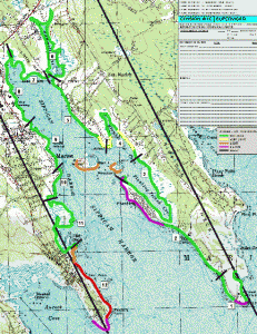
Fig. 3. Northern boundary of the Buzzards Bay watershed (red line) adopted in the 1992 CCMP approved by the Commonwealth and US EPA, compared to the surface topography watershed still in use by DEP and EEA. Click on the map for an enlarged version in a new window.