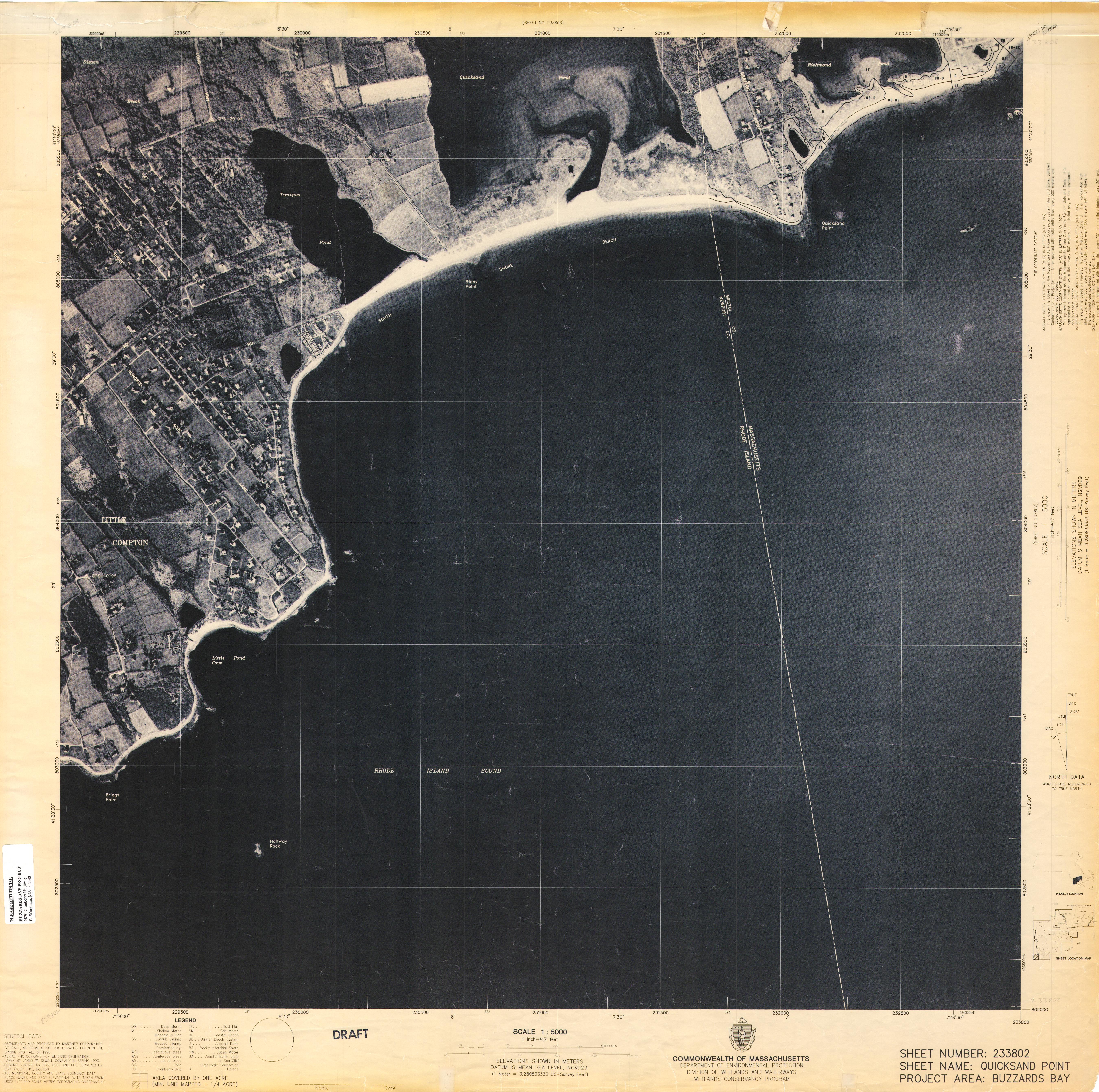
These wetlands conservancy program orthophoto maps were developed by the Division of Wetlands and Waterways in the early 1990s to accurately locate and outline the exact boundaries of the Buzzards Bay’s wetland resources. Please note that the wetlands boundaries shown on these maps have been determined by photographic interpretation. They do not represent and should not be used as, wetlands delineations under the Massachusetts wetlands Protection Act (M.G.L. c.131,S.40) and its regulations. The orthophotographic base of this map was independently tested on the ground for accuracy and was found to comply with national map accuracy standards at 1/40th of an inch (0.635 mm). A detailed report is available from the division of wetlands and waterways.