On September 6, 2017, the Buzzards Bay National Estuary Program announced the award of $135,000 in federal grant money for land protection projects and water quality monitoring in Buzzards Bay. The funding includes three grants to help towns in the Buzzards Bay watershed protect important habitat, including an Atlantic white cedar swamp, and funding to support long-term monitoring efforts in Buzzards Bay. All three land-protection projects are in the Mattapoisett River Valley watershed, which provides drinking water to four municipalities. The grants are being matched by $65,700 in municipal and private contributions that will support the water quality monitoring effort, help permanently protect important habitat and promote passive recreation for the enjoyment of natural resources. The following grants were awarded:
The Town of Acushnet will receive $35,000 to work with its partner, the Buzzards Bay Coalition, to protect 38-acres in the Towns of Acushnet and Fairhaven. The project will protect land that benefits water resources associated with Tripps Mill Brook and the Mattapoisett River. It will also protect wildlife habitat, expand trail-based recreational opportunities and protect a large contiguous undeveloped block of forest.
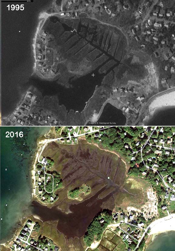
The Town of Mattapoisett will receive $35,000 to work with its partners, Mattapoisett Land Trust and Buzzards Bay Coalition, to protect a 53-acre property, also in the Mattapoisett River Valley, designated as habitat for rare species. The property also contains an old historic quarry with deep ties to New England history and culture. The Town and its partners intend to use the property for environmental and historical educational purposes.
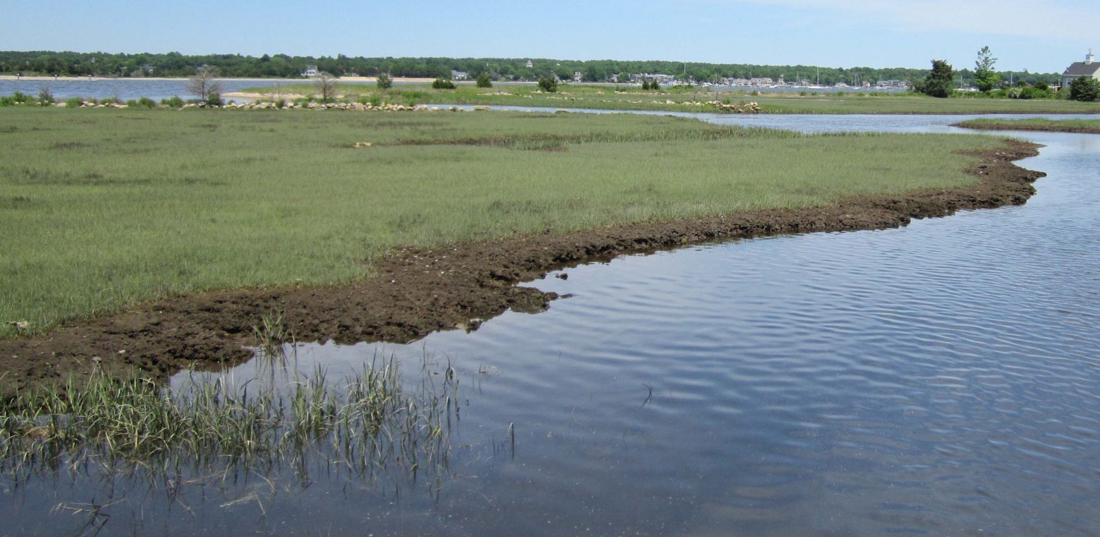
The Town of Rochester will receive $35,000 to work with its partners, Rochester Land Trust and Buzzards Bay Coalition, to permanently protect a 78.6-acre property, which contains extensive wetlands, including an Atlantic white cedar swamp. The property, located in a large undeveloped forest area near the dividing line of the Mattapoisett and Sippican River watersheds, will provide trail-based recreational opportunities for the public.
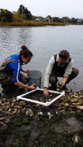
The Buzzards Bay Coalition will receive $35,000 to support an additional season of monitoring of the Baywatchers program. Baywatchers is a comprehensive volunteer-based water quality monitoring program, which has been in existence for 25 years. With the help of trained volunteers, basic water quality measurements of dissolved oxygen, temperature, salinity and water clarity will be made at approximately 150 stations in and around Buzzards Bay. The water quality data collected will be used to track nutrient pollution effects and will be made available to federal, state and local decision makers.
Additional details about the award are found on this EEA press release.