Information on the Town of Marion Grassi Bog Restoration
In September 2009, the Buzzards Bay NEP awarded the Town of Marion $7,500 to prepare the required permits for the restoration of an abandoned cranberry bog owned by the town, known as the Grassi bog. The Natural Resources Conservation Service (NRCS) has provided $100,000 in funding to the town to restore the site into a more natural wetland system. Restoration activities include rerouting the river from an existing bypass channel to a new channel that will flow through the bog, construction of an emergency spillway to protect the dike that creates the existing 8-acre pond, creation of new spotted turtle habitat, elimination of fish passage impediments, and removal berms. NRCS, in consultation with the Massachusetts Division of Marine Fisheries, designed the restoration project. The town will use the awarded Buzzard Bay grant funds to prepare all the necessary environmental permits for the project.
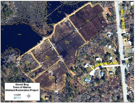
Grassi Bog site plan. Click image for larger view. Numbers refer to figures below.
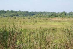
Photo 1. General view of bog 1. Click image for larger view.
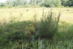
Photo 2. Side ditch in Bog 1. Click image for larger view.
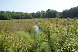
Photo 3. Main ditch Bog 1. Click image for larger view.
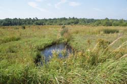
Photo 4. Main ditch Bog 2. Click image for larger view.
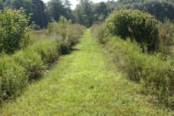
Photo 5. Dike between Bogs 1 & 2. Click image for larger view.
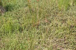
Photo 6. Vegetation Bog 2. Click image for larger view.
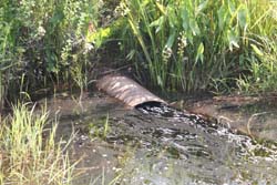
Photo 7. Main ditch at east end of Bog 2. Click image for larger view.
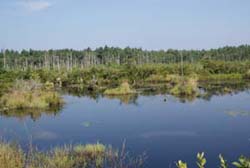
Photo 8. Pond. Click image for larger view.
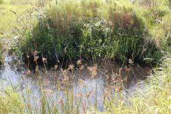
Photo 9. Main ditch east end of Bog 3. Click image for larger view.
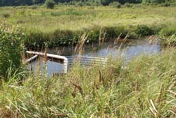
Photo 10. Main ditch east end of Bog 3. Click image for larger view.
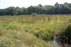
Photo 11. General view of Bog 3. Click image for larger view.
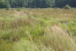
Photo 12. General view of Bog 3. Click image for larger view.
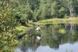
Photo 13. View of Pond. Click image for larger view.
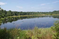
Photo 14. View of Pond. Click image for larger view.
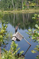
Photo 15. View of Pond. Click image for larger view.
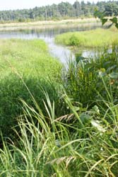
Photo 16. Constructed bypass at pond. Click image for larger view.
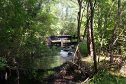
Photo 17. Constructed bypass (looking upstream). Click image for larger view.
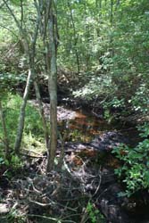
Photo 18. Constructed bypass (looking upstream). Click image for larger view.
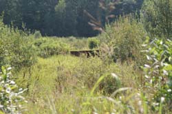
Photo 19. Main ditch south end of Bog 3. Click image for larger view.
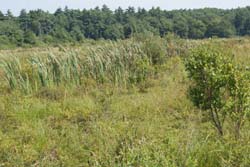
Photo 20. General view of Bog 3. Click image for larger view.
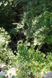
Photo 21. Main ditch outlet to bypass. Click image for larger view.
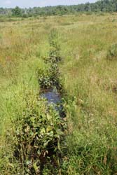
Photo 22. Control structure in main ditch to bypass. Click image for larger view.
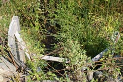
Photo 23. Main ditch at Bog 4. Click image for larger view.
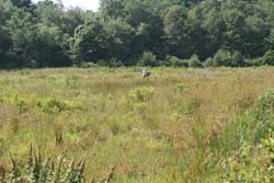
Photo 24. General view of Bog 4. Click image for larger view.
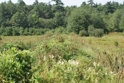
Photo 25. Dike between Bogs 3 & 4. Click image for larger view.
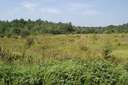
Photo 26. General view Bog 3. Click image for larger view.
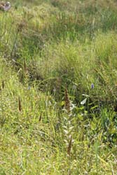
Photo 27. Main ditch at Bog 4 (looking north). Click image for larger view.
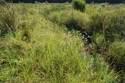
Photo 28. Main ditch at Bog 4 (looking south). Click image for larger view.


