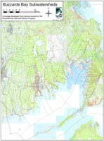
Buzzards Bay Watershed and Resources Maps
Related Pages: Nautical Maps | Watershed Info & Quick Facts | Town Information page |
On this page we include links to other pages that have maps and information on the Buzzards Bay watershed, and we include some maps not linked on other pages.
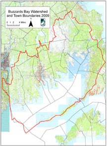
General Note the Buzzards Bay watershed and subbasins
The Buzzards Bay basin delineation for the watershed we use represents the jurisdictional boundary of the Buzzards Bay National Estuary Program as defined in the Buzzards Bay Comprehensive Conservation and Management Plan adopted by the Commonwealth of Massachusetts and the US EPA in 1992. It differs from the Buzzards Bay jurisdictional boundary adopted by some other programs within the Commonwealth, which omit Cape Cod in the Buzzards Bay “watershed” for various political or regulatory reasons. In addition, the major basin in the Wareham-Plymouth-Bourne adopted by the Buzzards Bay NEP was based on groundwater delineations and recommendations from USGS, and differs from land surface topography delineations adopted by some other programs. Finally, the subbasins on Cape Cod have been adopted from the Cape Cod Commission’s best and most recent delineations, and differ somewhat from those adopted by the Buzzards Bay NEP in 1990. These issues are described more fully on our Buzzards Bay Watershed Definition web page.
Census data for Buzzards bay watershed towns can be downloaded at this U.S. Census website. Looking for 2000 US census data on Buzzards Bay towns?:
Download entire demographic data report for all Massachusetts Towns from the US Census Bureau (3.3 MB pdf file)
RIGHT CLICK on the above link to download to your hard drive to open later, or open in your browser.
Back to Town Info Page
Left click on link to open in your browser, right click on map to save to a directory on your computer. If you receive a time-out error for a large file, you will have to right click then open it on your computer
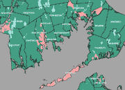
EEA’s Environmental Justice Map for the Buzzards Bay Watershed
More information on EEA’s : Environmental Justice initiative.
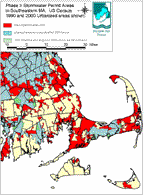
EPA’s “Phase 2” Stormwater NPDES permit area
1990 and New 2000 Census urbanized areas (117 kb gif file).
