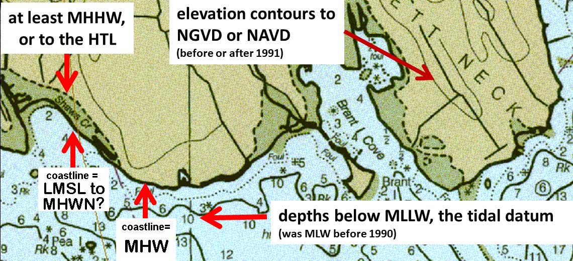
Portion of nautical map showing tidal datums associated with boundaries, elevations, and bathymetric depths as shown on nautical charts.
Buzzards Bay National Estuary Program
Established in 1985 as the Buzzards Bay Project, our mission is to protect and restore water quality and living resources in Buzzards Bay and its watershed through the implementation of the Buzzards Bay Comprehensive Conservation and Management Plan.
Portion of nautical map showing tidal datums associated with boundaries, elevations, and bathymetric depths as shown on nautical charts.