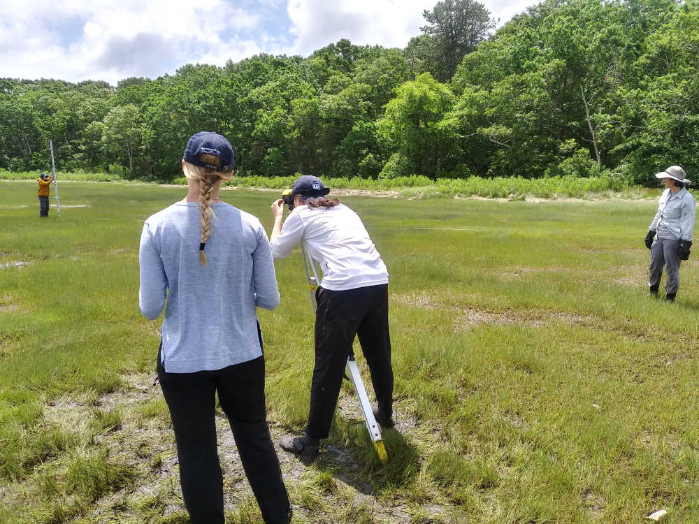
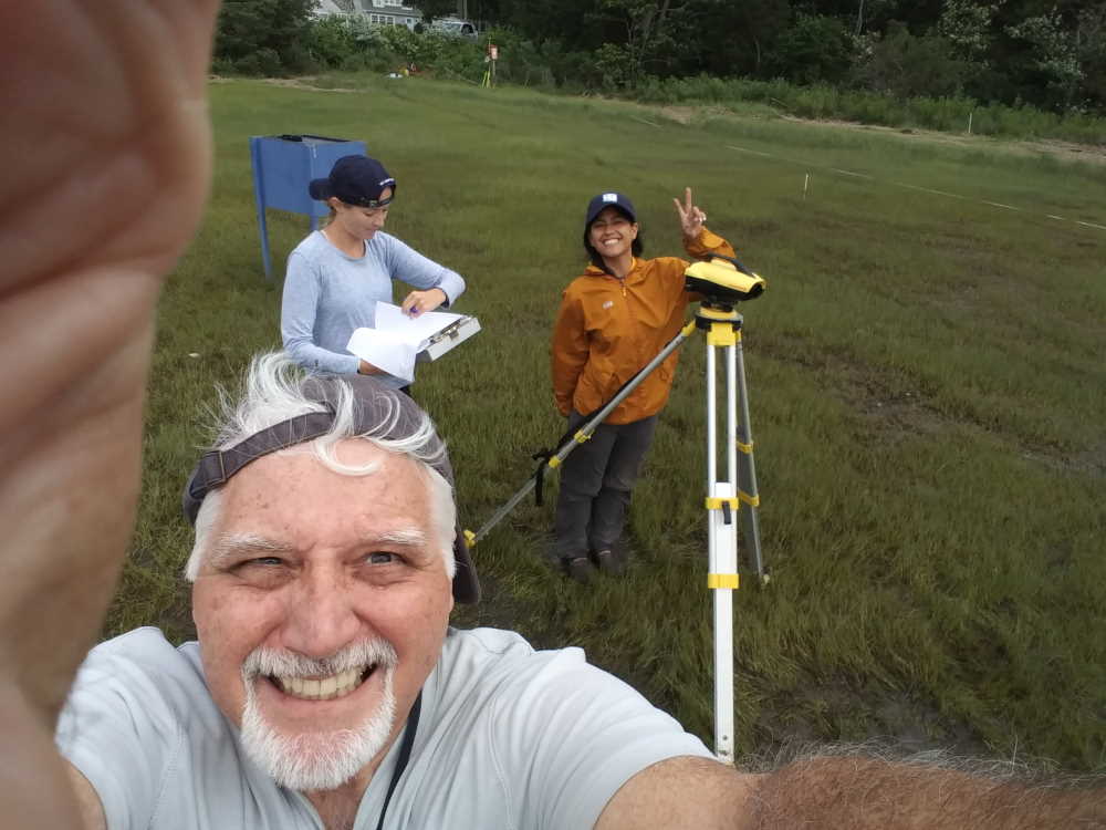
In 2019, the Buzzards Bay NEP, Buzzards Bay Coalition, the Woodwell Climate Research Center joined in a partnership and collaboration in several salt marsh studies in Buzzards Bay, including assessing long-term patterns of loss, evaluating potential causes of loss and vulnerable marshes, and identifying potential strategies to slow or mitigate those losses. In June, this salt marsh study partnership began its fourth field season. In these efforts, the Buzzards Bay NEP is providing GIS mapping support, conducting GPS surveys, providing training on the use of elevation survey equipment, installing benchmarks, and managing GIS data. In the images below, Buzzards Bay NEP Executive Director Dr. Joe Costa, and Buzzards Bay Coalition Science Director, Dr. Rachel Jakuba, help train this season’s interns working for the Coalition at a study site on Wings Neck in Pocasset in the Town of Bourne. For more information, see our previous Salt Marsh Study post and the Buzzards Bay Coalitions page: Coalition commits to monitoring long-term salt marsh health – Buzzards Bay Coalition.

